iMocker is a desktop location management tool that allows you to securely modify your iPhone's GPS coordinates or simulate natural geographic movement. It serves as an ideal utility for testing LBS (Location-Based Service) apps, verifying AR application logic, and protecting your digital privacy without requiring physical movement.
Here's a list of features that you can enjoy with iMocker:
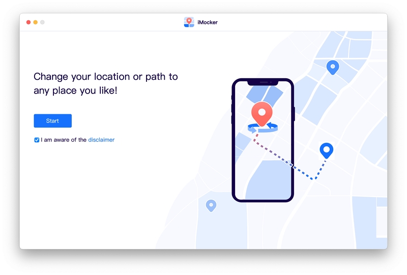
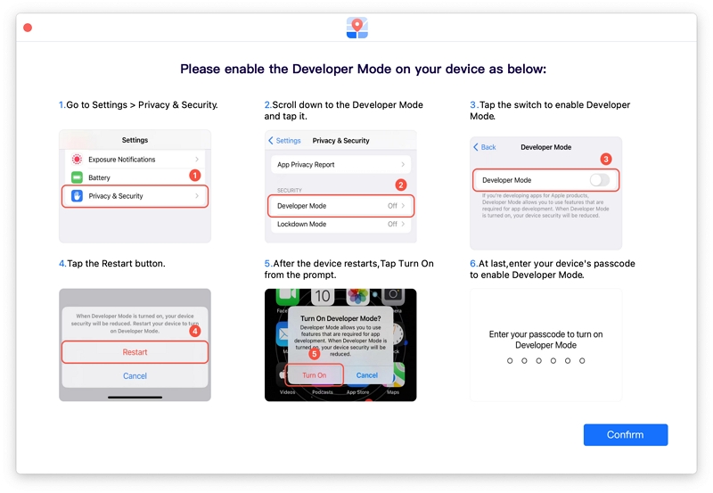
The updated version of iMocker is fully compatible with recent iOS updates, but you need to enable Developer Mode on your device before initiating the simulation.
Here's what to do:
With iMocker, you can seamlessly transition your virtual location to any place in the world for testing purposes. Here is how:
Step 1. Start by downloading and launching iMocker on your computer.
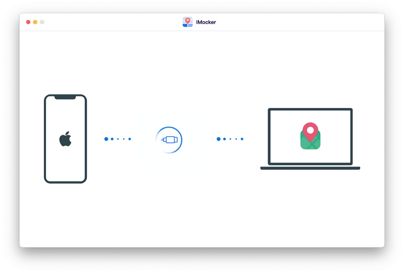
Step 2. Click on the "Start" button and connect your iOS device to the computer to initiate the connection.
Step 3. In the newly opened window, locate the map displaying your current coordinates. Enable "Modification Mode" by clicking on the first icon in the upper right corner.
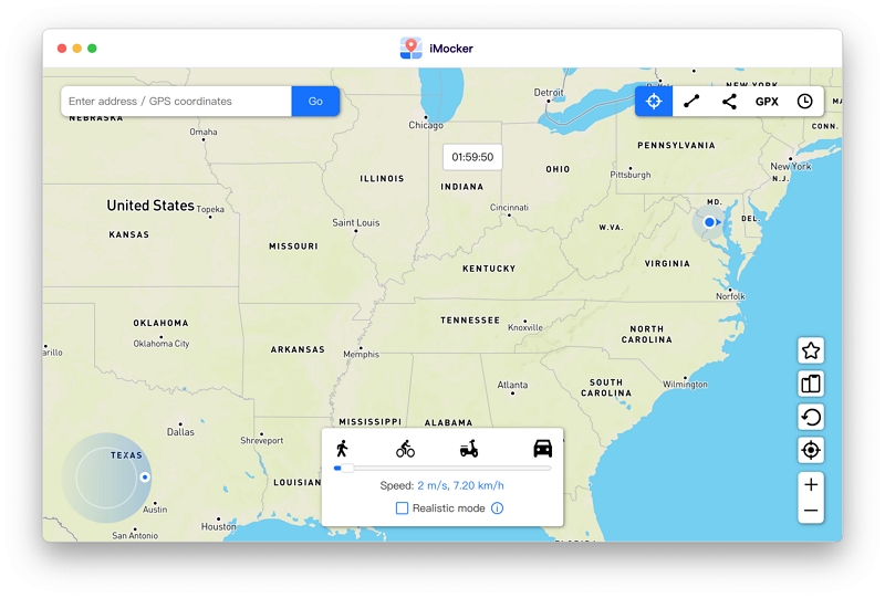
Step 4. Using the search bar, input your desired location address or coordinates, and then click on the "Go" button.
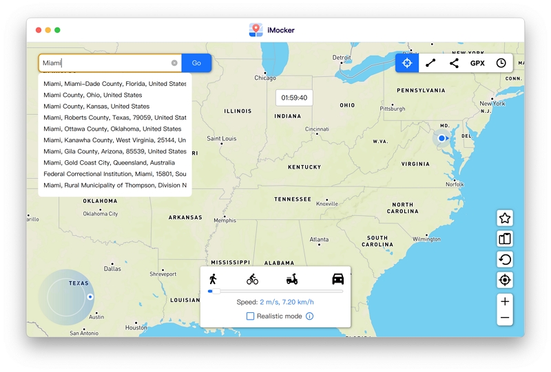
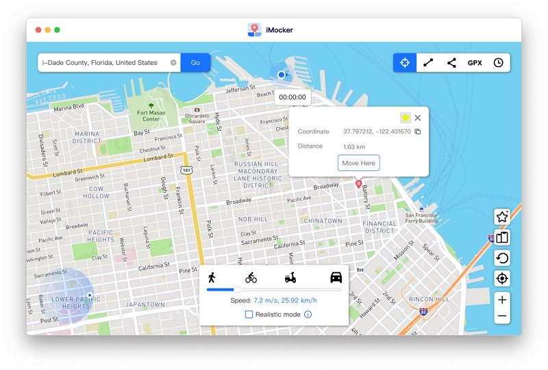
Step 5. You will find the chosen location on the iMocker map. In the popup window, click on "Move Here" to synchronize your device's GPS to the selected coordinates.
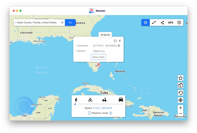
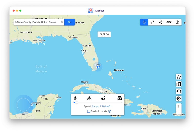
This will immediately update the location data on your iPhone. Open the Maps app on your device to verify the change.
iMocker allows you to simulate movement from point A to point B along actual mapped paths, providing realistic and measurable data for application testing.
Step 1. Choose the corresponding icon located in the upper right corner (the second icon) to access "Two-Point Mode."
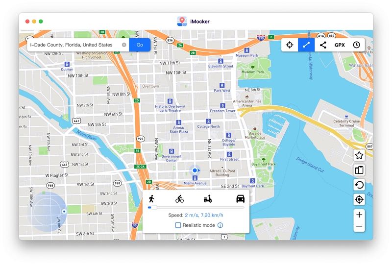
Step 2. Select a destination location on the map. A popup box will display the distance and provide the coordinates of the destination. Click on "Move Here" to proceed.
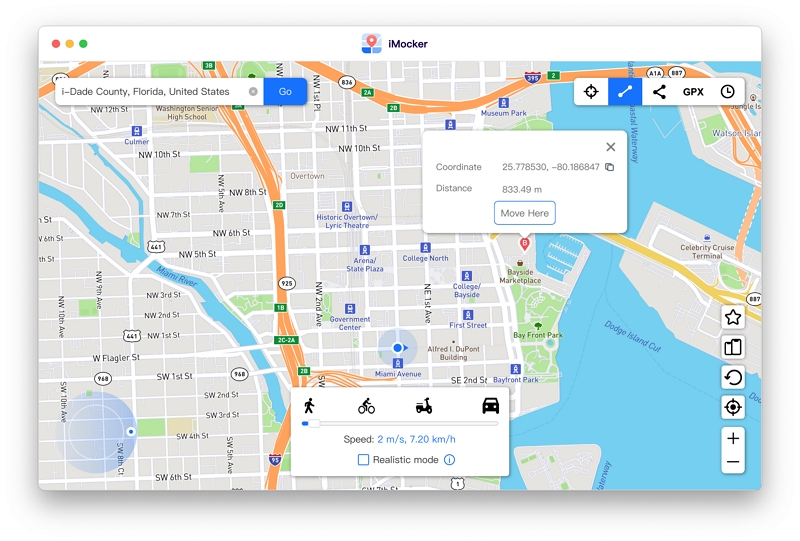
Step 3. Inside the new popup box, configure the routing options: choose to repeat the same route (A—>B, A->B) or establish a continuous loop between the two points (A->B->A) with adjustable timings for a more natural simulation.
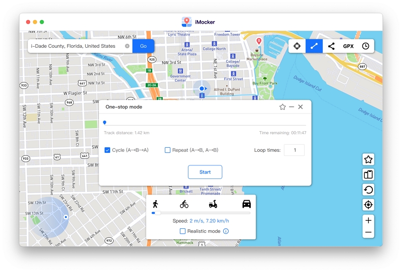
Step 4. Once you have configured the moving speed and route, click Start. The virtual location will begin progressing along the mapped road. You can adjust the speed dynamically or pause the simulation as needed.
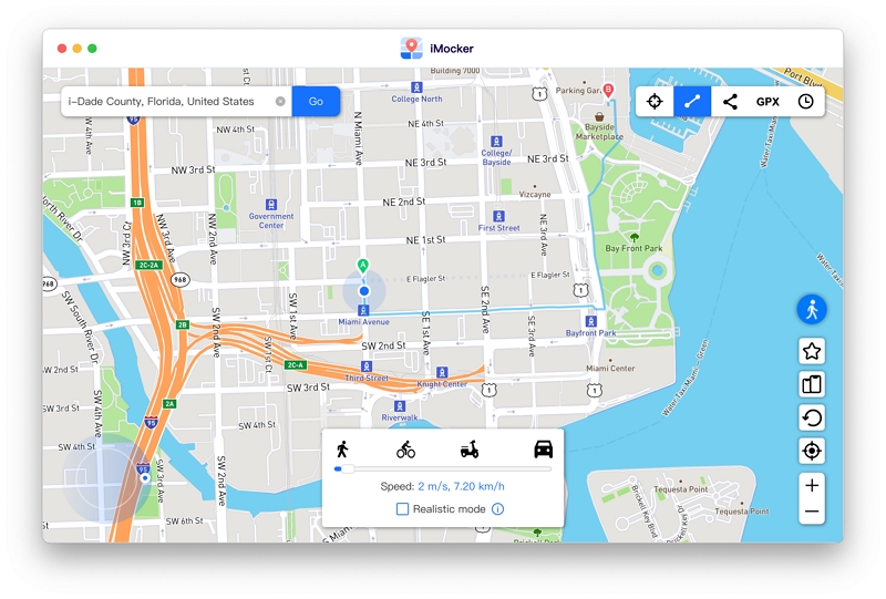
For complex geographic testing, utilize the Multi-Stops Mode. Here is how to configure it:
Step 1. Select "Multi-Stops Mode" in the upper right corner.
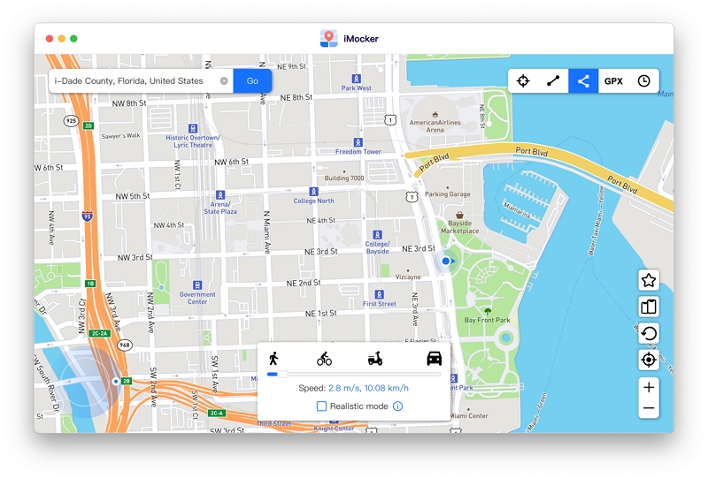
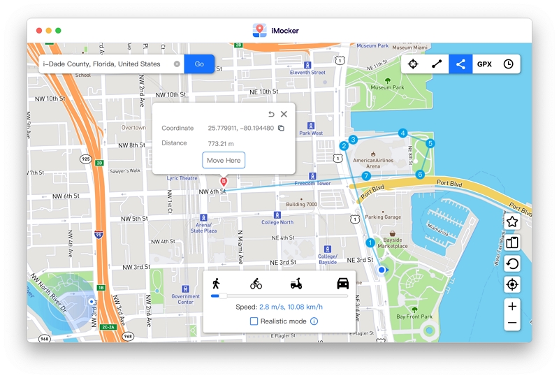
Step 2. Add waypoints for the custom route. Selecting points along mapped roads provides a more accurate simulation environment for LBS applications.
Step 3. A popup box will display the total distance and coordinates. Click on "Move Here" to proceed.
Step 4. Define the repetition count for the route and click Start to initiate the simulation.
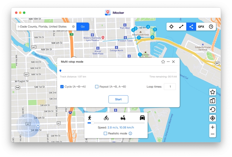
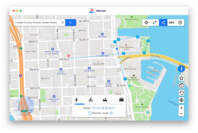
The virtual movement will now follow the predetermined path. You can pause or adjust the speed at any time.
iMocker includes an integrated joystick for both automated and manual movement, allowing for precise adjustments to speed and direction during testing.
Step 1. Click the Start icon located in the center of the joystick to initiate automated continuous movement.
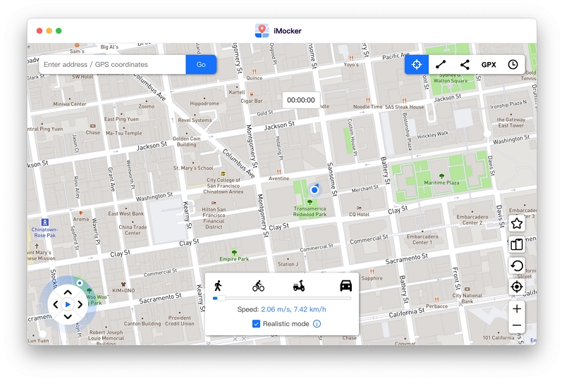
Step 2. Adjust the heading using the left/right arrows, dragging the joystick circularly, or utilizing the A/D or Left/Right keys on your keyboard.
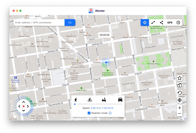
Step 1. Press the forward arrow to advance. You can also use the W or Up key on your keyboard.
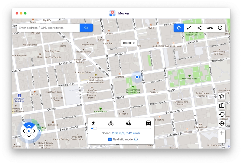
Step 2. To reverse direction, press the back arrow, or use the S or Down key.
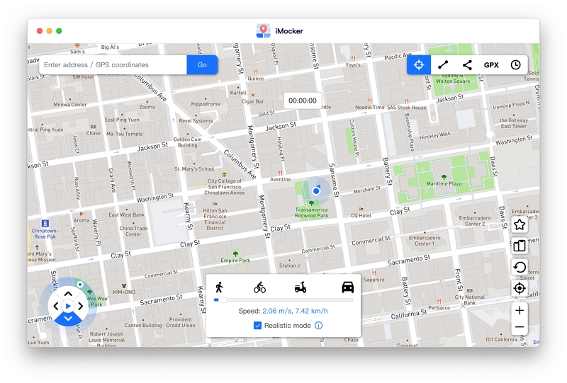
iMocker supports the synchronization and modification of location data across up to 5 iOS devices simultaneously.
Step 1. From the map interface, click the "Multi-device Management" icon in the bottom right corner.
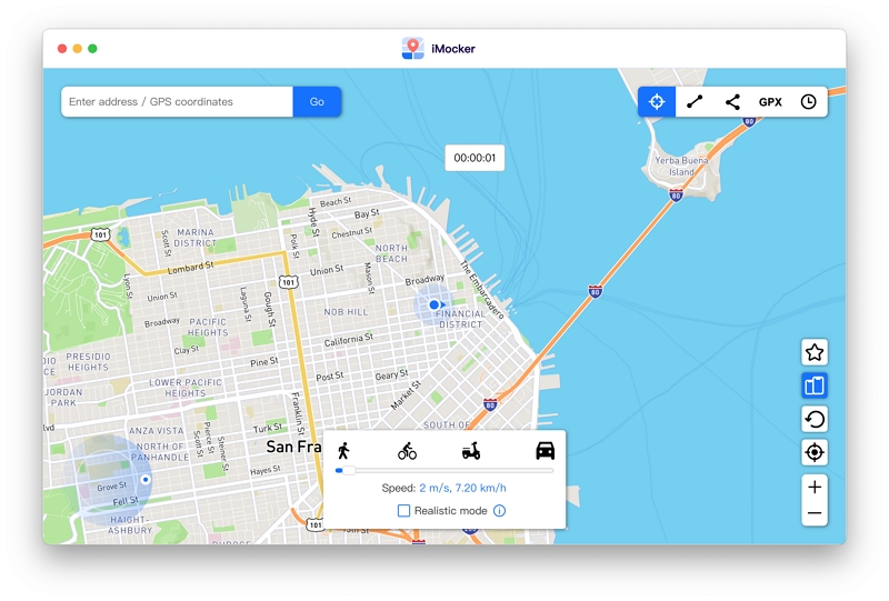
Step 2. In the control panel, click the "Add" icon to register a new device.
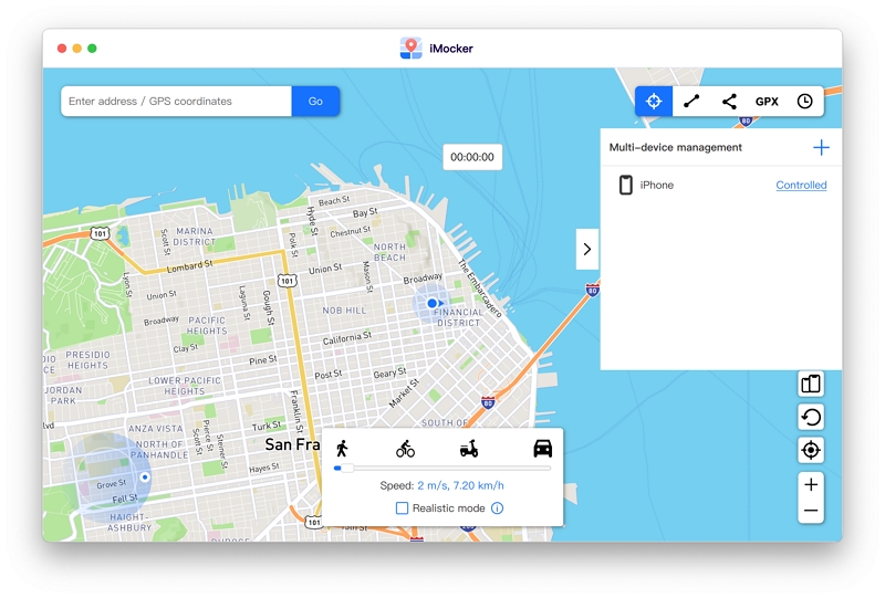
Step 3. Connect the device to your computer. Once detected by iMocker, select it and click "Next".
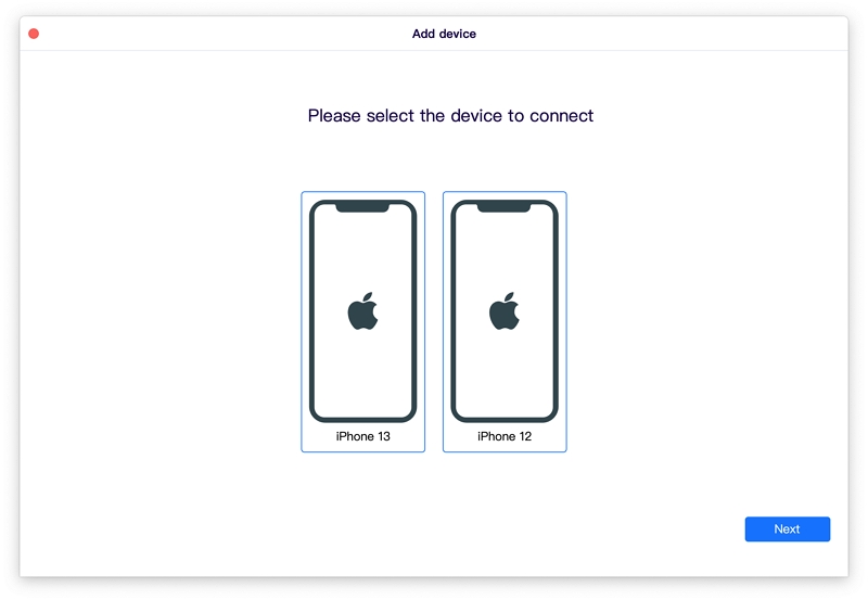
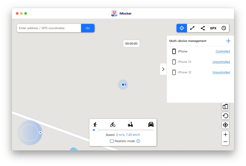
Step 4. Successfully connected devices will be displayed on the panel. You can toggle the status of each device between "Controlled" (location data is actively managed by iMocker) and "Uncontrolled" (device uses its native hardware GPS).
If you are working with specific geographic data, iMocker can accurately recreate the movement track from a GPX file.
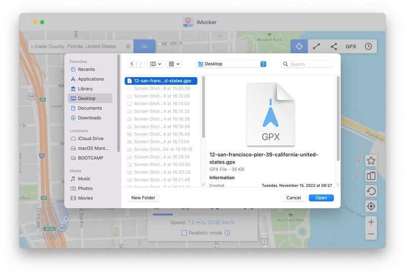
Step 1. Click the GPX icon to import your file.
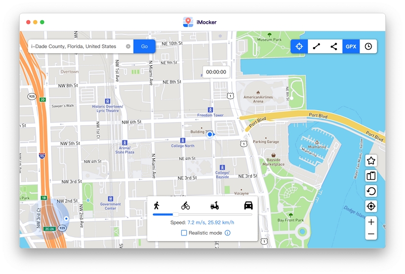
Step 2. Select the desired file from your local storage.
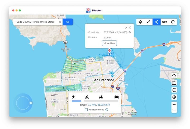
Step 3. The route will be rendered on the iMocker map. Click the "Move Here" button.
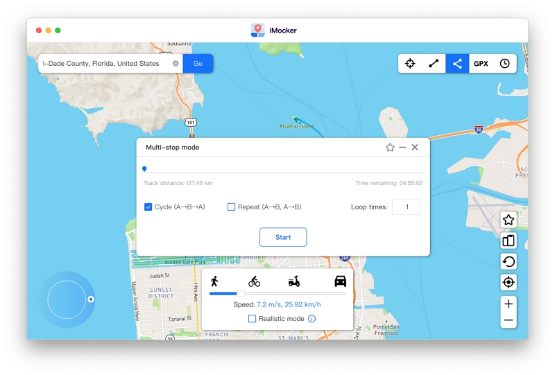
Step 4. Configure the repetition settings and other parameters, then click Start to initiate the GPX simulation.
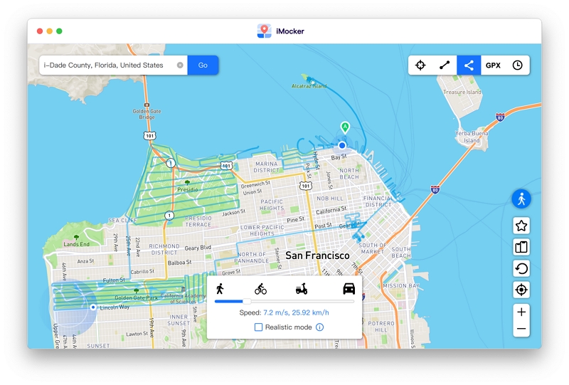
Now the moving starts according to the GPX file you imported.
iMocker includes several advanced parameters to ensure highly accurate and natural location simulations:
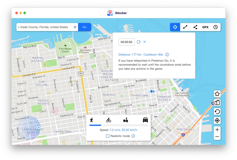
This feature assists in managing realistic transition times between distant locations. It ensures that simulated location changes align with natural travel parameters, which is crucial when testing apps with strict location-validation mechanisms.
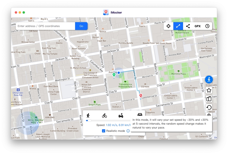
To make the virtual movement indistinguishable from physical travel, Realistic Mode introduces micro-fluctuations. When enabled, the movement speed varies by up to 30% every 5 seconds, accurately mimicking human travel patterns such as fatigue or acceleration.
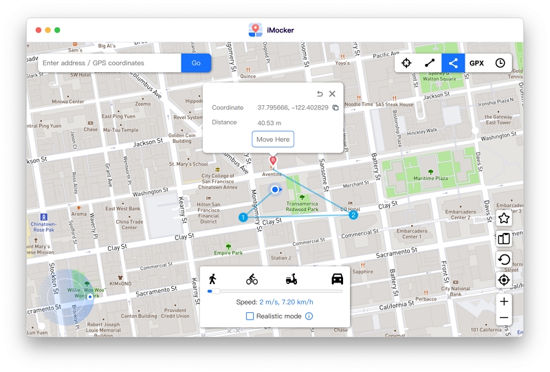
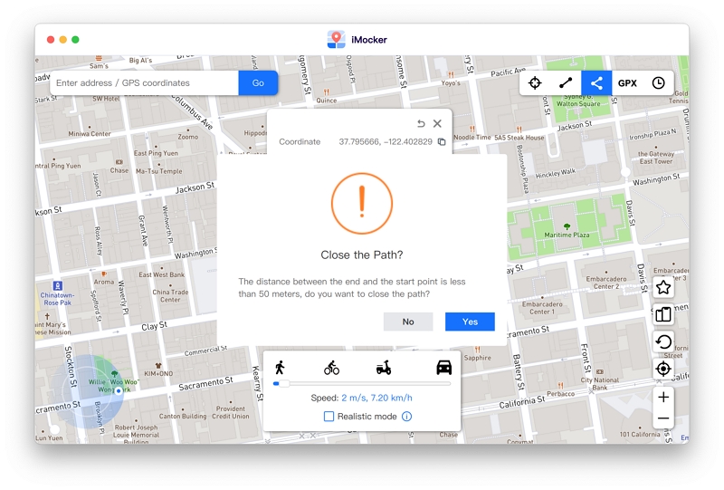
If the distance between the final and initial waypoints is less than 50 meters, the system can automatically close the path.
Selecting "Yes" creates a continuous loop, while "No" leaves the route open-ended.
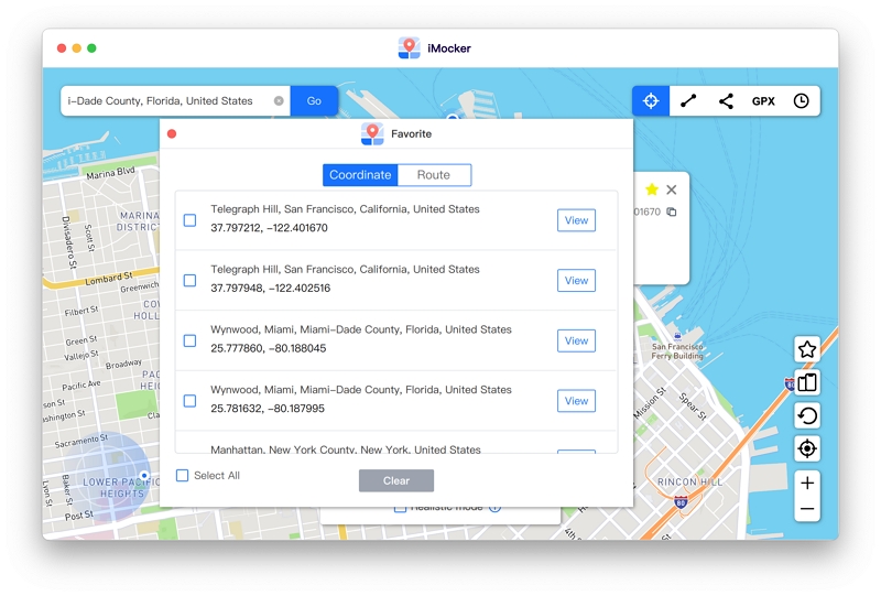
Easily bookmark frequently tested coordinates or custom routes. Click the Star icon on any location pop-up to save it.
Access your saved data anytime via the Favorites tab.
Now that you have familiarized yourself with advanced GPS location management, you can efficiently test your LBS applications, conduct geographic software validation, and protect your digital privacy. Follow the guidelines carefully to ensure accurate and stable simulations.


 iMocker - Location Changer